
 |
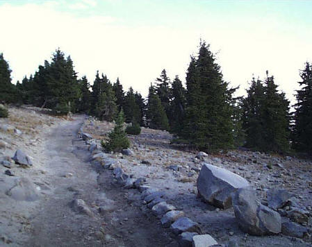
| Contemporary photograph showing Watchman Trail. The trail is 5′ wide and lined with stones during the historic period to mark its edge on the down slope (CCSO 2001). |
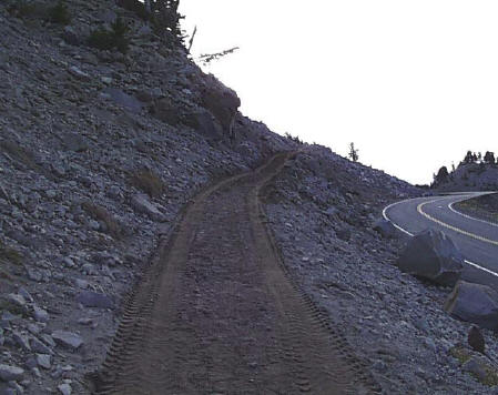 |
| Contemporary photograph showing Watchman Trail. The trail is wider along this 200 yard segment as it traces the original alignment of Rim Road (CCSO 2001). |
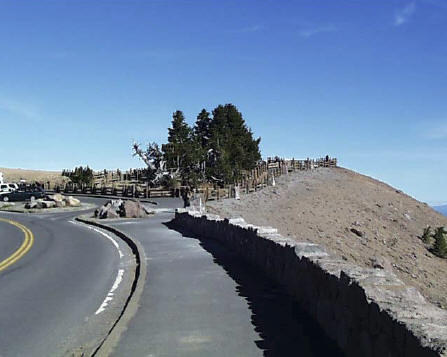 |
| Contemporary photograph showing parking lot located at Watchman Overlook, 7600′ (CCSO 2001). |
| |
| Contemporary photograph showing Watchman Trail spurring to the left from the original alignment of Rim Road which continues to the right (CCSO 2001). |
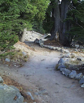 |
| Contemporary photograph illustrating how Watchman Trail was historically aligned to avoid Whitebark pines and Mountain hemlocks (CCSO 2001). |
***previous*** — ***next***