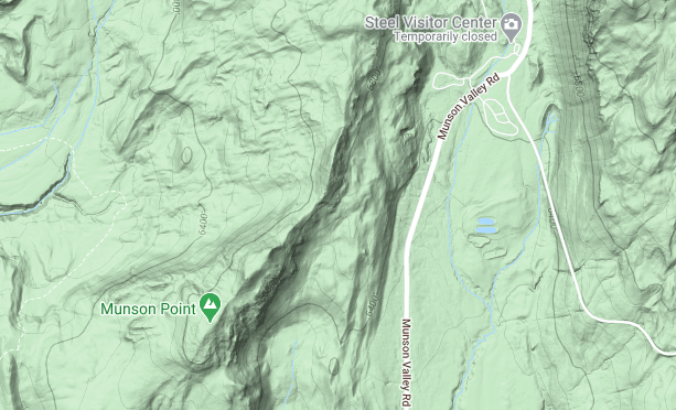

Munson Valley Road
***menu***
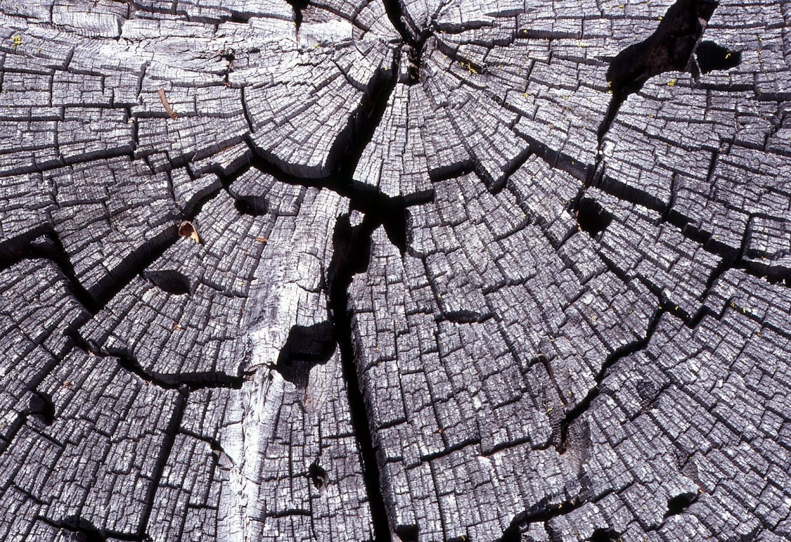 Not all scenery at Crater Lake is about the lake. This weatered end of a saw-cut tree is almost like a painting. Click to enlarge. Photo by Lloyd Smith
|
From the Annie Spring Junction this road runs north to the junction with Rim Drive at Park Headquarters, and then to Rim Village. The road measures 7.06 miles in length. A long spiral curve less than 2 miles from Annie Spring. The road has the only bridges in the park, starting with a wooden span about 40′ over Annie Creek, and located just a short distance from the spring. It and the bridge over Goodbye Creek, 1 mile to the north; constructed in 1955 and 1956. Two parking areas on the north side of this bridge form the Goodbye Creek Picnic Area, though the stream separates one set of tables from the other. Although Route 4 is roughly the same length as Route 3, it contains more curves of short radii in having to pass from Munson Valley to Rim Village, and is effectively part of Rim Drive in that it allows motorists to complete a full circuit. The road reaches Munson Ridge (the Cascade Divide) about a half mile beyond the springs and runs largely on contours to Rim Village. |
The two parts of the Munson Valley Road provide a dramatically different experience for visitors in terms of what they can see. Large mountain hemlocks and Shasta red fir line the roadside of Route 3, but the absence of understory vegetation provides filtered views into the forest. A parking area separated from the road a short distance uphill from Goodbye Creek allows visitors to leave their cars for a 1 mile walk called the Godfrey Glen Trail, a path that provides them with dramatic views of Annie Creek Canyon not seen from the road. Steep slopes and distant ridgelines are pervasive over most of Route 4, with Castle Crest (a massive ridge below Garfield Peak) dominating the scene above Park Headquarters. As motorists climb toward Rim Village, views of the Klamath Basin and major peaks to the south can be seen. |
| https://www.google.com/maps/d/edit?mid=14T2c5l0HrI6rrCNbDQG3leubmOq69beW&usp=sharing | |
***previous*** — ***next***