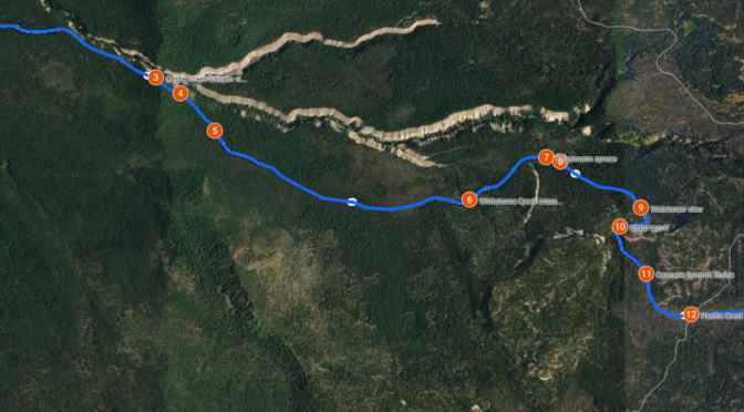

West Entrance Road
***menu***
From the Diamond Lake (North) Junction on Rim Drive, the North Entrance Road runs 9.2 miles north to meet state highway 138. Open pumice fields and features like Red Cone (7363′), Bald Crater (6478′), and Grouse Hill (7412′) dominate the panorama as visitors ascend from the northern park boundary to the Crater Lake rim.
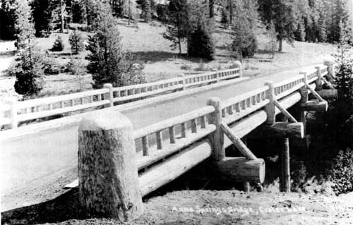
The original Annie Springs Bridge, 1929
|
west park boundary
|
|
|
1060 feet .2 miles
|
|
|
Castle Creek Canyon view
|
|
|
Elephant’s Back
|
|
|
forest of hemlocks, western white pines, and Shasta red firs |
|
| Whitehorse Creek crossing | |
|
Engelmann spruce
|
|
|
Whitehorse Bluff
|
|
|
Watchman view
|
|
|
sharp curve
|
|
|
Cascade Summit Divide
|
|
|
Pacific Crest National Scenic Trail
|
|
| Turn into Annie Springs Entrance |
- The Pacific Crest Trail (PCT) crosses the roadway within a mile of the junction and a sign points to an adjacent unsurfaced parking area for trail users.
- Heading west from the PCT crossing, drivers have virtually nowhere to park alongside the roadway for about 5 miles until a paved pullout delineated with bituminous curb called “Elephant’s Back” is reached. It permits those who stop on either side of the road to see where the canyons created by Castle Creek and Little Castle Creek meet.
- A half mile to the west is another paved pullout overlooking Castle Creek Canyon that once served as the park’s west entrance before boundary expansion in 1980. The pullout features a vault toilet and information kiosk installed during 2001.
- Visitors can also stop at the current west entrance a little less than a mile further on, where a sign built in 1998 replicates a rustic log structure erected by the Civilian Conservation Corps in 1935
***previous*** — ***next***