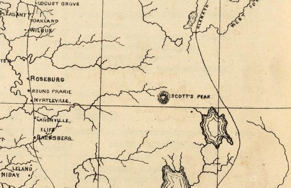

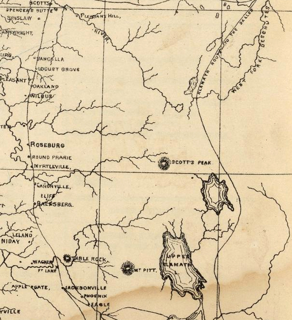
Crater Lake on the map Timeline – 1866 State, Territorial and Ocean Guide Book of the Pacific
|
|
| Description State, Territorial and Ocean Guide Book of the Pacific: Containing The Time and Distance Tables … on or Connecting with the Pacific Coast and the Interior … To Which Are Added Nine Large and Reliable Maps Showing Principal Towns, Routes of Communication, etc. San Francisco: Published Semi-Annually by Sterling M. Holdredge. San Francisco … 1866. Printer, Grafton T. Brown. |
Other pages in this section
*** previous title *** --- *** next title ***