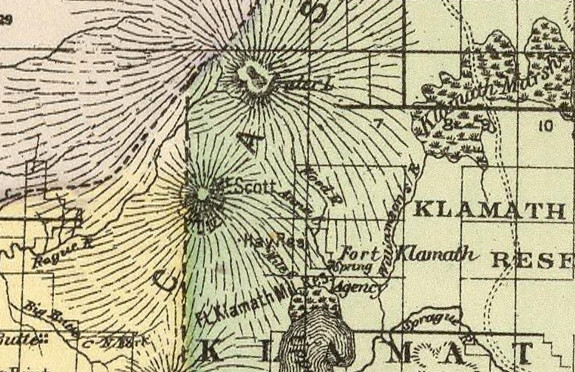

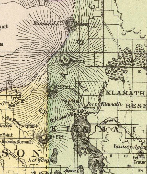
Crater Lake on the map Timeline – 1890 County and Township map of Oregon and Washington
|
|
| Description County and township map of Oregon and Washington. Copyright 1887 by Wm. M. Bradley & Bro. (1890)Pub Title: Mitchell’s new general atlas, containing maps of the various countries of the World, plans of cities, etc. Embraced in ninety-three quarto maps. Forming a series of one hundred and forty-seven maps and plans. Together with valuable statistical tables. Also a list of post-offices of the United States and territories, and also Census of 1880 for states, territories and counties, also of cities of over 10,000 inhabitants. John Y. Huber Company, Publishers, Philadelphia and St. Louis. 1890. (on verso) Entered … 1886, by Samual Augustus Mitchell … Washington. |
Other pages in this section
*** previous title *** --- *** next title ***