
Final Report, Forest Restoration of Sun Creek, Crater Lake National Park
Introduction
Many national parks have implemented fire management programs to restore the natural role of fire to park ecosystems (Kilgore, 1976). Planning for such programs includes documenting the historical role of fire, and evaluating this role in relation to socioeconomic values and the current state of the ecosystem (Agee, 1974). Where the effects of fire suppression have not been major constraints, natural fires have been allowed to burn in some parks; planned ignitions have often been used to incrementally restore other systems or substitute for natural fires.
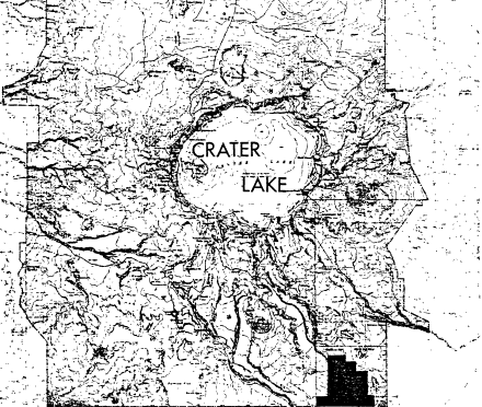
The Sun Creek area of Crater Lake National Park (Figures 1 and 2) differs from many national park areas in that it was selectively logged (as an inholding) before it came under National Park Service management in 1941. Unlike systems where reintroduction of fire can itself recreate natural patterns, the restoration of Sun Creek will be more complex. Research was undertaken to determine the past architecture of the forest, and the steps necessary to recreate a mimic of these natural conditions.
The research was divided into two parts: (1) a detailed study of the effects of logging, fire suppression, and one prescribed fire on forest species composition, size and age structure, and fuels; and (2) a reconnaissance of the entire logged area to determine stocking and potential management directions. The first part of the research is documented in a Master of Science thesis by Terri Thomas (1982), which is being submitted as a technical completion report on the project. The findings of the thesis are summarized in the next section of this report, followed by the reconnaissance level results. An integration of these findings is then applied to future management of these areas.
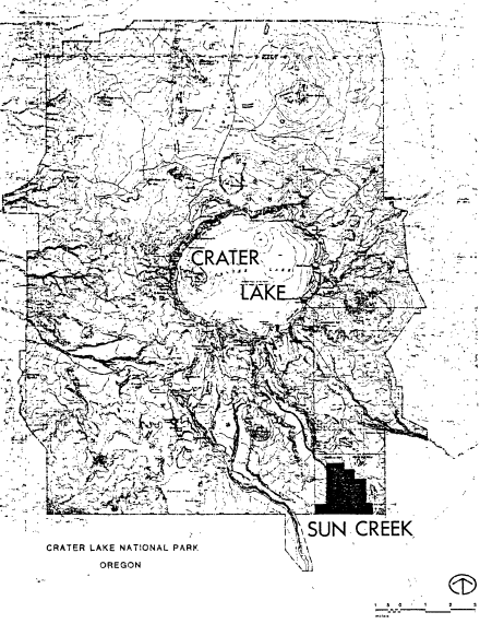 |
| Figure 1. Location of Sun Creek area in southeastern corner of Crater Lake National Park. |
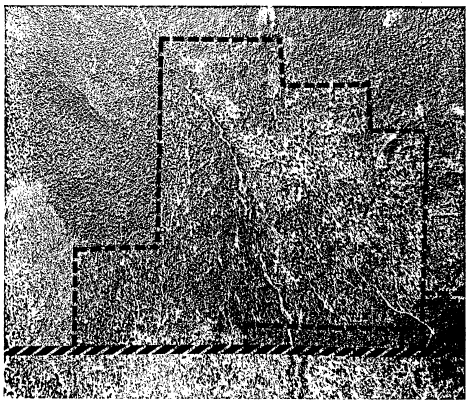 |
| Figure 2. Color xerox of Sun Creek logged area (#678-146). Park boundary is thick, diagonal red line at photo bottom; tract boundary is outlined in thin, dashed red line. |
Other pages in this section