Evidences of Early Glaciation on the Caldera Walls
Danger Bay and Sentinel Rock
We have now practically completed the circuit of the caldera. Between Kerr Notch and Cloudcap Bay, glacial deposits are confined to the upper part of the walls. On the shoulder to the east of Kerr Notch, between two-thirds and three quarters of the distance up the walls, are two distinct layers of bouldery till, each about 80 feet thick, separated by a flow of andesite. In the upper till there are lenses of well cemented fluvioglacial sand and gravel, pebbles of which may be found embedded in the bottom of the overlying lava. A third till rests on the topmost lava and beneath the youngest pumice deposits of Mount Mazama. This is part of the ubiquitous sheet of till just inside the caldera rim.
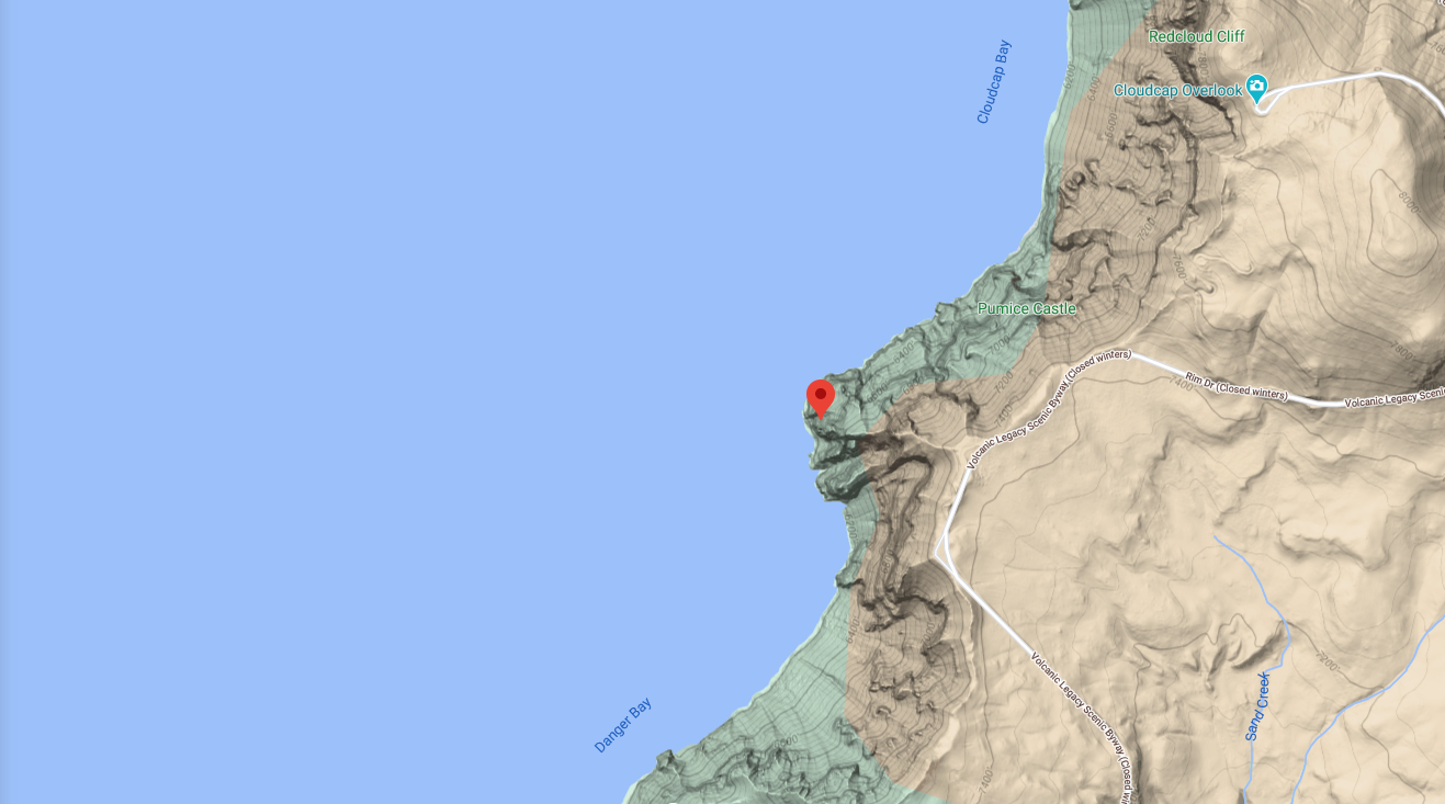
On the north side of Danger Bay, the walls display a pronounced unconformity, an upper group of lavas and pyroclastic rocks resting in a broad and shallow basin pitching toward the lake and cut in a lower volcanic series. Copious springs gush from the contact and lush vegetation flourishes there. It was thought at first that some of the upper lavas might have issued from Mount Scott, for this would readily explain their lakeward dip. Closer study shows, however, that this is not the case. One the contrary, the upper lavas seem to have filled a glacial valley (plate, 30, figure 2). This alone would fail to account for their inward dip, since the slope of the underlying lavas in the opposite direction. The answer is to be found in the presence of glacial till on the old valley bottom. Near the lake the till is thin, but higher up the caldera wall and farther from the lake it thickens rapidly. Presumably a terminal moraine occupies the valley a short distance behind the caldera wall, and it was against the inner face of this moraine that the younger lavas accumulated. Nowadays, water percolating through the jointed lavas find its way down the face of the moraine and so empties into the lake.
After the glacial valley had been filled, a new vent opened beneath Sentinel Rock and a thick flow of andesite was erupted from it. The glaciers then readvanced, overriding the flow and leaving on its surface an irregular deposit of till (plate 14, figure 2). This may be seen conveniently on the trail from the Rim Road to the top of Sentinel Point. On the trail itself, the Sentinel lava is overlain by 50 feet of till, though a short distance to the north and south the layer dwindles to a few feet in thickness and disappears west of Cloudcap. There is no hint of a corresponding till above the Redcloud dacite. Above the till, on the Sentinel Point trail, is a layer of lump pumice 42 feet thick, then a block layer of about the same thickness, and finally 50 feet of finer lump pumice, products of the last explosions of the volcano. The same three layers can be seen on Point Reflection above the till, and in the opposite direction they can be seen arching over the top of the Redcloud dacite (plates 10 and 23) and continuing over the lavas of Skell Head.