
Water balance for Crater Lake, Oregon by Manuel Nathenson
Introduction
The water balance of Crater Lake, Oregon, is fundamental to understanding the fluxes of dissolved constituents in the lake and to calculating the amounts of dissolved constituents added by the inflow of thermal water (e.g. Nathenson, 1990, Collier and others, 1991). Phillips (1968), Simpson (1970), and Redmond (1990) have carried out water balances using differing methodologies. Phillips and Simpson obtained similar results, but Redmond obtained a substantially higher value for water supply to the lake than the earlier investigators. The purpose of this paper is to perform another analysis to determine if there are best values for the water balance.
Crater Lake offers unique opportunities for the analysis of water balance because of its relatively simple hydrology. The lake receives most of its precipitation directly, because it comprises 78% of its drainage area. The lake has no surface outlet, and water is lost by evaporation and subsurface leakage. The lake level has been recorded daily to high precision (0.01 feet = 0.3 cm) since 1961. Precipitation has been measured daily at Park Headquarters (Figure 1) since 1931, except for interruptions during World War II (Redmond, 1990). Since 1964, precipitation has also been measured yearly on July 1with a storage gage on the North Rim of the lake (Figure 1). Phillips’s (1968) analysis necessarily focused on the early data, some of which are of uncertain quality, and he only had available two years of daily lake-level data. Redmond (1990) and this study have 27 years of data through 1988 for yearly balances and 22 years of complete daily data for water level and precipitation.
In the next section, the water balance is discussed based on yearly precipitation and lake-level data. It is shown that precipitation data at Park Headquarters are inadequate to accurately calculate the lake level variation based on the water balance. Using precipitation data from the gage on the North Rim in combination with that from Park Headquarters, it is shown that lake level variation can be more accurately modeled. In the following section, daily data are analyzed. Although there is a great quantity of daily data, it is shown that they are inadequate to accurately define the water balance. Given the water balance from yearly data, the daily data are used to calculate the ratio of precipitation on the lake to that measured at Park Headquarters.
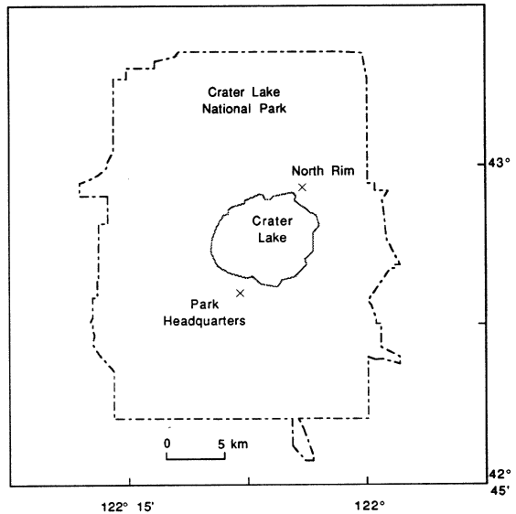 |
| Figure 1. Map of Crater Lake National Park showing locations of precipitation gages at Park Headquarters and at the North Rim. |
***previous*** — ***next***