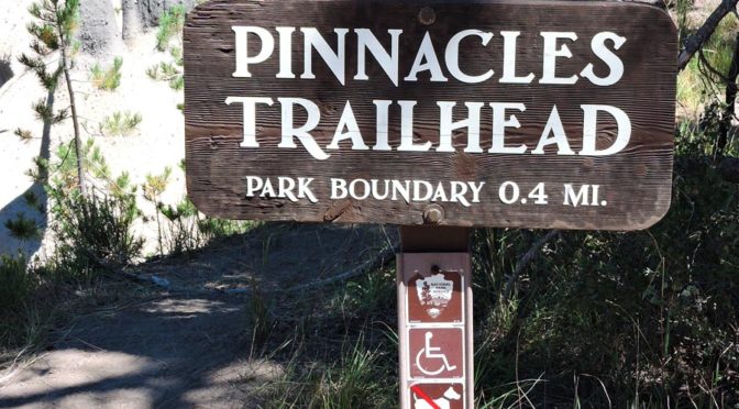

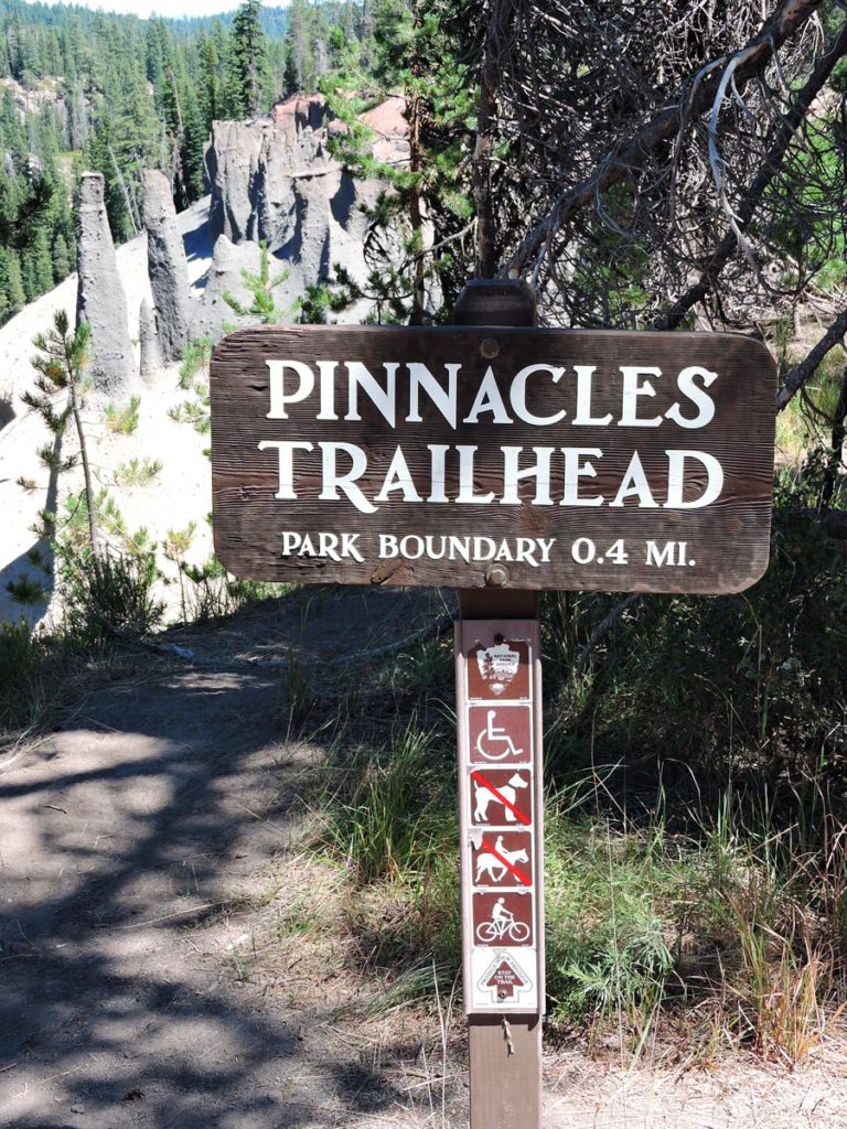
This was the original boundary sign on the Pinnacles Road, just .5 miles east of the Pinnacles parking lot. The park boundary sign can be seen on the left bottom of the first photo. If used, please credit Larry Eifert, Crater Lake Institute. Below the boundary photos is the complete story of this important place in Crater Lake’s history.
Summer 1915 East Entrance Ranger Cabin constructed for $993.50. Rim Road to Sun Creek completed.
Summer 1929 The building of a new East Entrance Road from Dolber on the California Highway Hwy 97), is begun
February 7 1932 Congress cuts $1200 from Crater Lake’s construction budget for the building of two entrance arches, one on the North Boundary, and other for the East Entrance. Congress does approve: Employee quarters for $3500, comfort stations for $2500, oil house for $1200, A Superintendent’ House, shops for $6,000 and a new Ranger Dormitory for $12,000.
1932 Mr. Wilson, from Wilson’s Cabins, purchases the Sand Creek filling station and store complex at the East Entrance of the Park, along old highway 97. For the next five years this was the center of activity for the delivery and storage of the road equipment used for the construction of the New Rim Drive. Large pieces of road equipment were “walked” overland went, through the trees to the Rim Construction Site. The drive, led by D-7 cats took one week.
Summer 1957 Due to the relocation of Highway 97 off of Sun Mountain Pass, the use of the East Entrance has fallen to less than 4% of the total visitation to the Park. Officials feel that this reduction in entry use warrants the closing of one of the Park’s original entrance routes and Ranger Station.
January 19 1973 Daft Memo from Jim Rouse, regional office, recommending that the East Entrance be closed. The Old East Entrance had been reopened September 1, 1971 because of the new one-way designation for the Rim Drive. It was felt that rather than forcing visitors to drive completely around the full Rim Drive, the reopened East Entrance would give them more choices to enter and exit the Park. Snow closed the East Entrance after only one month. The road was reopened July 8, 1972. Despite “wide publicity” given the re-opening of the old East Entrance, only 2.5 percent of visitors used it out of a total of 594,343 total. The East Road was permanently closed and the pavement torn up on September 18, 1972. Jim Rouse’s memo recommending permanent closure of the road was sent to John Rutter, regional director. What also helped to kill the old entrance was the USFS possibly being burdened with having to improve their side of the road along Sand Creek from one lane with turnouts to standard width for two lanes. By June 8, 1973 Ernie Borgman, general super, told the local Oregon Department of Transportation that the park had no plans to reopen the East Entrance for the summer season.
More detail about what Jim Rouse was doing before becoming Superintendent of Crater Lake National Park and why he wrote about the closing of the Old East Entrance.
Written: Dec. 2009.
Pacific Northwest Reg. Dir. Rutter had me serving as Chief of Environmental Compliance & Planning and as Wilderness Coordinator for the Region. The planning team from the Western Office and Planning, Design & Construction had completed most of the master plan for Crater Lake at about that time. This was when the Rim Village redesign, the new concessionaire Employee Dorm was proposed, and the idea to move some of the Concession functions off the Rim. The plan also included a Circulation Plan that fostered the one-way Rim Drive from Cleetwood Cove around to the southeast part of the park, and the idea for 2 different one-way motor nature roads (as they called them). That was a push from Dir. Hartzog, I believe. Also that alternate entrance coming in from the east of Hwy 97 was not popular with the State Hwy Dept. And the NPS also was questioning the cost to operate this entrance. So, as part of my assignment the Regional Director requested me to try to pick up and complete that plan started by WODC team, and to develop our Wilderness proposal for Crater Lake. I don’t recall much Park staff, or the K.Falls (Ernie B) opposing the idea of discontinuing that East Entrance And ODOT was very much in favor of closing it. I did support the Greyback motor nature road, partly to go along with the NPS move at that time, and the benefits of offering the visitors another scenic and interpretive activity.
I did not support one they had proposed out towards Union Peak, and so advised the Reg. Dir.
So, at that time, I was busy trying to get this master plan in form that we could take to the public for review and comment. John Henneberger from WODC was on that team, but most were off on other projects and moving to Denver. Then, I did the same with the unfinished plan for Oregon Caves National Monument.
November 22 2019 Rim Drive designated as a Historic District. A series of “The Original Rim Road” brochures are being prepared for visitors. They include, “East Entrance & Pinnacle Valley Segments, 1913,” “Grayback Segment, 1914,” “Lightning Springs Segment, 1915,” “Watchman Segment, 1916,” “Cloudcap Segment, 1917” and “Grouse Hill Segment, 1918.”
When the work started in 1913, park visitation was only 13,000 for the year. By 1931 that figure had climbed to 170,000. While Rim Road initially served its purpose as a circuit around Crater Lake, by the 1920s changes in automobile technology made the roadway unsuitable,” the brochures explain of the need for an improved road, now known as Rim Drive.“In 1931, construction began on the modern Rim Drive, the roadway visitors still use to enjoy the sights of Crater Lake. Although the Rim Road’s tenure in Crater Lake was short, it represents a technological feat and is part of the larger history of automobiles in America’s national parks.”
Other pages in this section