U.S. Geological Survey and the National Park Service
USGS Fact Sheet 092-02, August 2002
Introduction
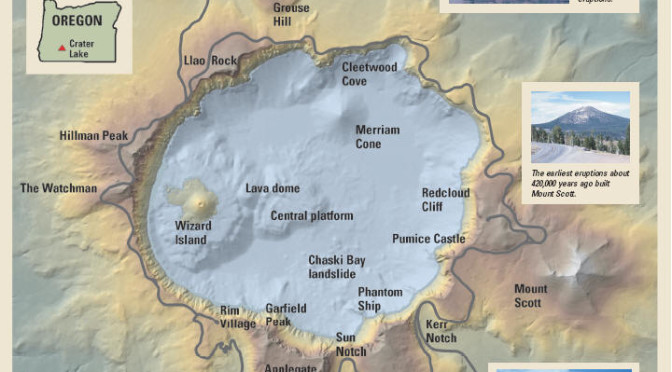
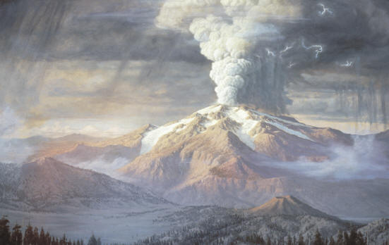
For more than 100 years, scientists have sought to unravel the remarkable story of Crater Lake’s formation. Before Crater Lake came into existence, a cluster of volcanoes dominated the landscape. This cluster, called Mount Mazama (for the Portland, Oregon, climbing club the Mazamas), was destroyed during an enormous explosive eruption7,700 years ago.
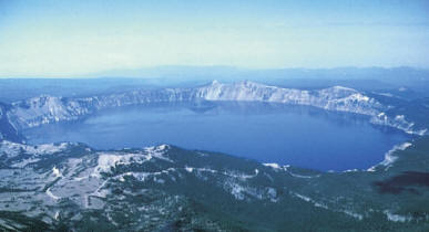
So much molten rock was expelled that the summit area collapsed during the eruption to form a large volcanic depression, or caldera. Subsequent smaller eruptions occurred as water began to fill the caldera to eventually form the deepest lake in the United States. Decades of detailed scientific studies of Mount Mazama and new maps of the floor of Crater Lake reveal stunning details of the volcano’s eruptive history and identify potential hazards from future eruptions and earthquakes.
When Clarence Dutton of the U.S. Geological Survey (USGS) visited Crater Lake, Oregon in 1886, he was awestruck by its amazing beauty: “as the visitor reaches the brink of the cliff, he suddenly sees below him an expanse of ultramarine blue of a richness and intensity which he has probably never seen before, and will not be likely to see again.” He spent nearly a month sounding the depths of the lake from a rowboat, wondering at the forces that could create such a magnificent landscape. In the more than 100 years since Dutton’s first survey, scientists have steadily unraveled the mystery of the formation of Crater Lake and with it the demise of Mount Mazama.


