
Working up estimates for a proposed annual budget at this point involved one submitted by the War Department for road work since the Army Corps of Engineers built the Rim Road and other routes at Crater Lake on a day labor, rather than contract, basis. Another group of estimates came from Interior through the superintendent or other officials appointed to act in his place. Interior’s estimates for the season of 1917 represented a more than eight fold increase (to almost $68,000) over what Congress appropriated for Crater Lake in 1916. Nevertheless, trail work totaled $11,475, of which a new trail to the lake accounted for more than half that amount. Eight other routes were included, beginning with a half mile trail from Kerr Notch to the lake. Others consisted of a trail to the top of Garfield Peak (1 mile), a graveled path along the rim near Crater Lake Lodge (.25 mile), one connecting the Rim Road from Devils Backbone to a proposed ranger station at Oasis Spring (8.5 miles), another from Cloudcap to a proposed ranger station at Cascade Spring (2 miles), a trail from Polebridge Creek to a ranger station in the Red Blanket basin (5 miles), one connecting Cloudcap to the top of Mount Scott (4 miles), and finally a route going from the West Entrance Road to Union Peak’s summit (5 miles).26
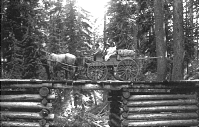 |
| Wagon and team on wooden bridge in Crater Lake National Park, about 1900. Courtesy of the Klamath County Museum. |
For his part, Steel’s annual cost estimates provided to Congress for trails could almost be characterized as a five year plan. In addition, to listing trails to Garfield Peak, Crater Lake, and the Watchman as his top three projects, he listed ten others. Two of them involved building routes along the lakeshore (from the boat landing in Eagle Cove to Kerr Notch and the Watchman slide, respectively), a trail to the water from Kerr Notch was proposed. So too was the reemergence of a proposed trail from the Rim Road to the top of Mount Scott, as well as foot paths suggested by Daniels from Park Headquarters at Annie Spring to Arant Point and Union Peak. Other proposals included one of some 12 miles between headquarters and “Llao Creek” (in the park’s northwestern quadrant) as well as a trail near the West Entrance Road, along Castle Creek Canyon, and a more circuitous one mile route aimed at connecting Annie Creek Canyon with Dewie Falls.27