Draft General Development Plan, July 1977, Crater Lake National Park, Oregon
Appendix B: Existing Development
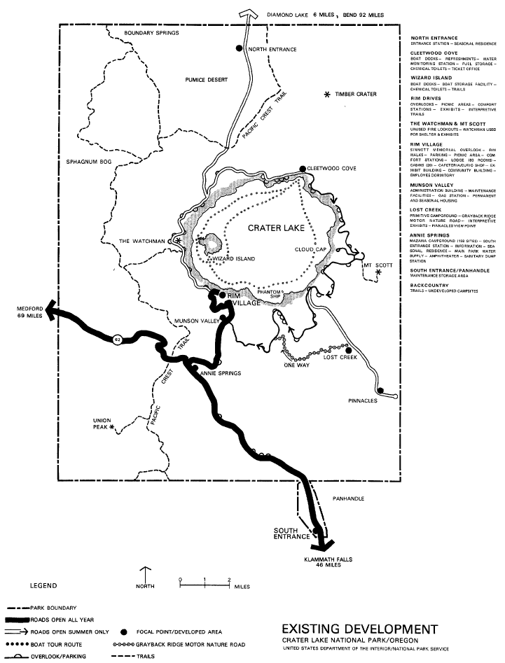
Visitor Use Facilities
Roads: The park road system consists of approximately 85 miles of paved roads including the 32.6-mile rim drive. The four-mile-long unpaved Grayback Ridge Motor Nature Road provides the visitor with an interpretive drive offering exposure to the wide variety of natural resource experiences available in the park. In addition to parking at the main developed areas, there are 123 parking pullouts along the approach roads and at the various points around the rim.
Various circulation systems utilizing combinations of one-way and two-way roads have been tried. Generally, the one-way road segments were in effect only during the peak visitation periods, requiring the changing of directional signs. Since the roads were striped for two-way traffic, the visitor often became confused. The one-way system also forced NTIS and concession employees to travel greater distances than necessary to accomplish their tasks. Following public input in the planning process, park management implemented the present circulation system in 1976 (see Access and Circulation map).
During the winter the Southeast and West Entrance Roads (State Highway 62), the park road to the Rim Village, and the roads in the Munson Valley residential areas are the only roads that remain open.