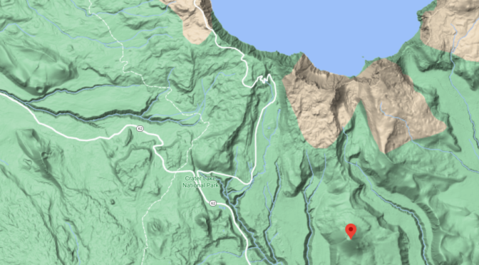

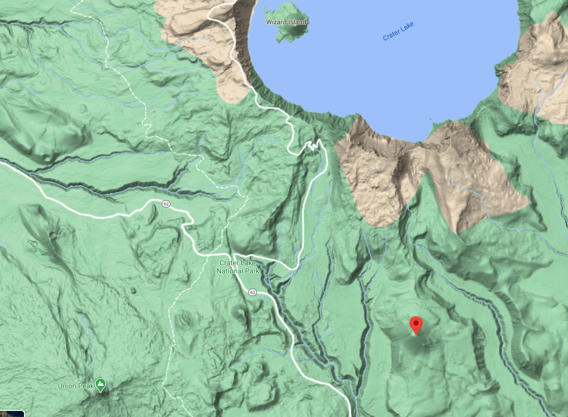
Crater Peak – Prominent Geological Features of Crater Lake National Park
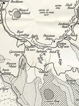
This familiar landmark on the south slope of Mount Mazama rises 750 feet above the undulating crest of Vidae Ridge, a short distance from Tututni Pass. It rests upon and is surrounded by glacial drift. The cone itself has not been modified by glaciation and is as well preserved as any within the park. Most of it consists of lapilli and bombs of red, brown, and black porphyritic basaltic andesite like that which makes up the cone of Wizard Island. Few fragments exceed even 3 inches across, though occasional bombs about a foot in diameter are also present. Some of the ejecta are angular and have smooth, plane surfaces. Probably these were blown out when solid. Others are sub-rounded and scoriaceous and must have been erupted in a viscous state. With these are many lumps of old andesite and dacite torn from the underlying basement. Much brick-red ash was also blown from Crater Peak and may be seen as far as 2 miles from the cone … [The Parasitic Scoria Cones of Mount Mazama: Crater Peak, The Geology of Crater Lake National Park, Oregon (1942) by Howell Williams]
Other pages in this section
*** previous title *** --- *** next title ***