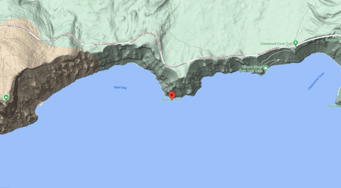

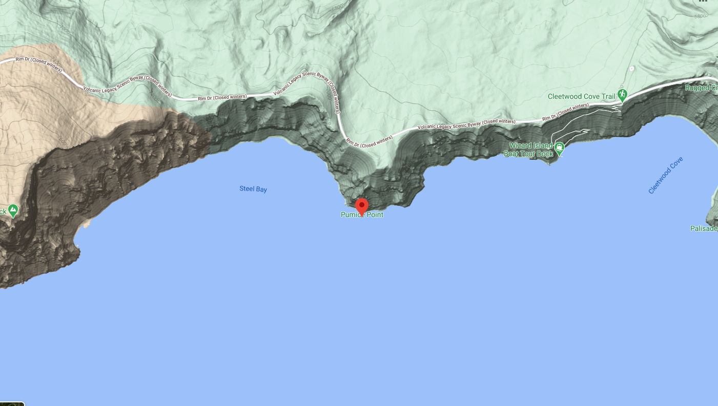
Pumice Point – Prominent Geological Features of Crater Lake National Park
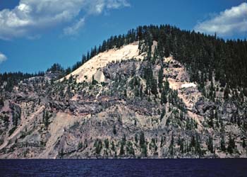
The next important exposures of inter-andesitic pumice may be seen in the upper part of Pumice Point, where they form a bold, white face. The lower half of the point consists of andesitic flows and breccias. Resting on the glaciated crust of the topmost lava is a thin and irregular lens of bouldery till and glacial sand. Above this is 47 feet of coarse lump pumice mixed with large blocks of andesite. After these ejecta had been laid down, they were partly buried by a thick flow of andesite … [The Glaciation of Mount Mazama: Cleetwood Cove to Pumice Point, The Geology of Crater Lake National Park, Oregon (1942) by Howell Williams.]
Other pages in this section
*** previous title *** --- *** next title ***