
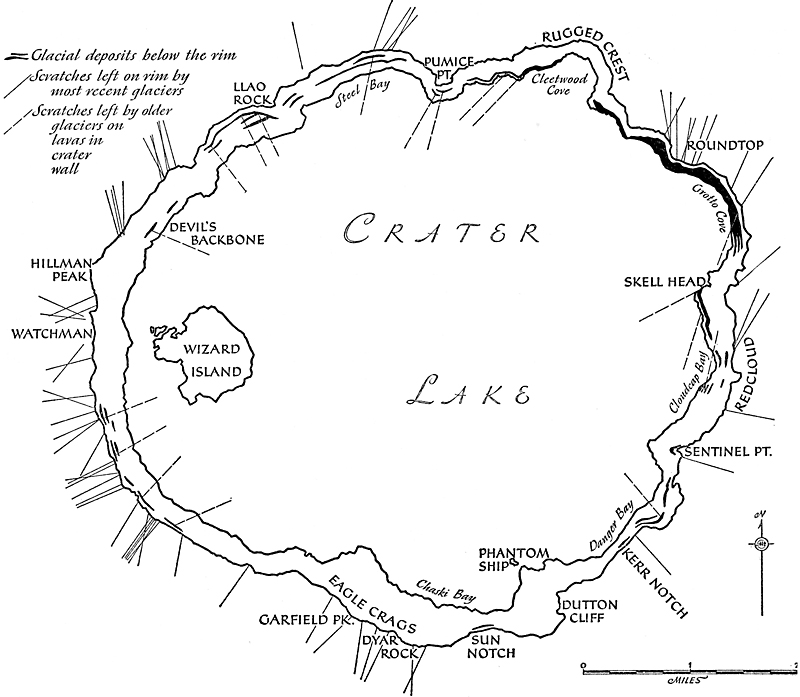
Direction of Glacial Striae on the Caldera Walls
Had Mount Mazama been a perfectly symmetrical cone, all the glacial striae on the caldera rim would be radial with respect to the former summit. That such is far from being the case is plainly seen from the map, figure 31. Atwood supposed that the striae point not to a single center of dispersal, but to two, one approximately above the center of the lake and the other above Wizard Island. He then suggested that toward the end of its growth the main cone bore on its western flank a parasitic cone, “Little Mazama,” just as Shasta bears on its western side the parasitic Shastina, and he thought that Wizard Island might have been built by renewed eruptions through the same conduit which had supplied the lavas of this hypothetical “Little Mazama.” Certainly if “Little Mazama” ever existed it would have served as a second center of ice dispersal, and its presence would account for the trends of the striae on the western rim of the caldera. The trends of the striae can be explained satisfactorily, however, without recourse to such a hypothesis, for Hillman Peak, now bisected by the rim, must have acted as a “cleaver,” splitting and deflecting the glaciers which swept down from the main peak of Mazama.
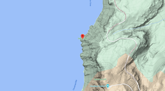
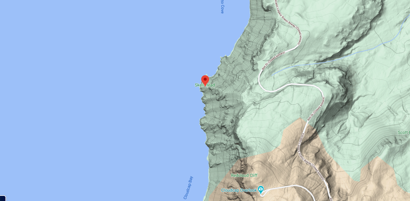
The most noteworthy departure from the general radial arrangement of the striae left by the last glaciers of Mount Mazama is to be found along the northeast rim, between Roundtop and Skell Head. On Roundtop, the striae run almost north and south; on Skell Head they are directed toward a point far to the east of the center of the lake. Nothing in the present topography can account for these aberrant trends, and it can only be surmised that the glaciers on the northeast slope of the main volcano were deflected from their radial course by parasitic cones.
The striae on the lavas lower down the caldera walls are too few to permit definite conclusions regarding the directions taken by the earlier glaciers on the volcano. It may be mere coincidence that most of the older striae on the west and north walls of the caldera trend toward a point about halfway between the center of the lake and the summit of Wizard Island. Certainly it would ‘be rash to conclude that when these striae were formed the top of Mount Mazama lay in that position. Along the east wall of the caldera, the older striae run approximately parallel to the lake shore; they are much more nearly tangential than radial in direction. Possibly when they were produced the glaciers on the east slope of Mazama were deflected by others from the opposing slopes of Mount Scott. Even in its .infancy, as we have seen, Mount Mazama was a complex of overlapping cones built by shifting or multiple vents, and it is therefore not surprising that the glacial striae fail to show a regular pattern.
|
Fig. 31. Glacial striae and deposits on the rim and walls of Crater Lake. Topmost tills on and close to the rim are omitted. (Compiled by W. W. Atwood, Jr., Loren Miller, Roy Turner, and Howel Williams.) |
Other pages in this section
*** previous title *** --- *** next title ***