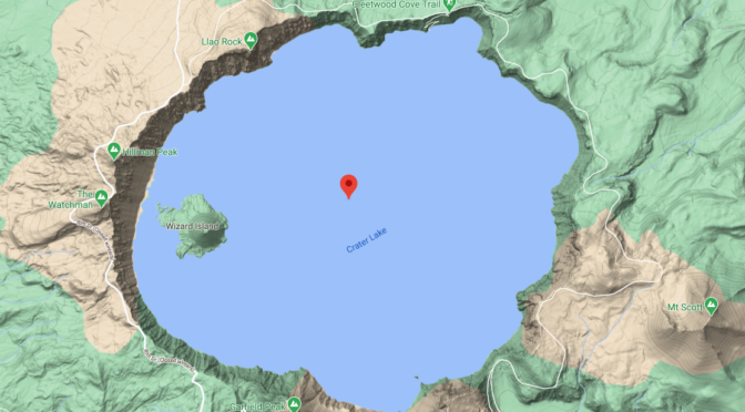

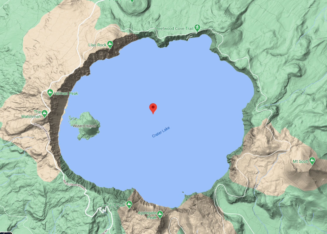
Crater Lake Caldera – Prominent Geological Features of Crater Lake National Park
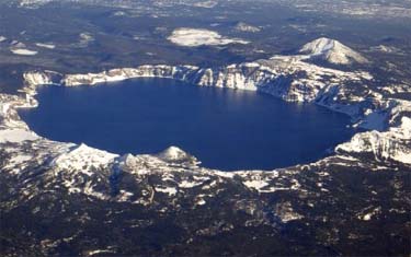
The 8 x 10 kilometer Crater Lake Caldera, in the southern Oregon Cascade mountain range, was formed by the collapse of the former Mount Mazama approximately 7,700 years ago.It’s highest point is 8,156 foot Hillman Peak and it’s maximum depth is 1,949 feet. It is the central feature of Crater Lake National Park and has been studied by geologists, limnologists, and others for over 100 years.
Other pages in this section
*** previous title *** --- *** next title ***