
Union Peak Trail – Crater Lake National Park
| Time: 5 to 6 hours
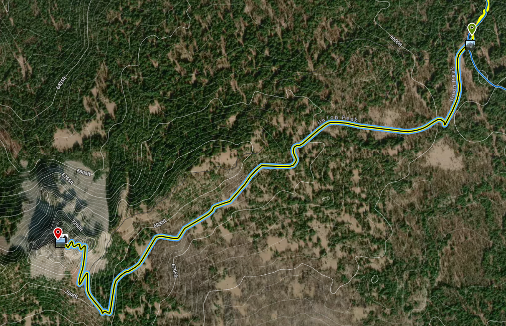
Difficulty: Moderate Length: 2 mi (3.22 km); Union Peak Spur Trail is 2 miles long; the PCT trail access from the north is 2.83 miles long and the PCT/Pumice Flat trail from the south and east is approximately 4.8 miles long. Elevation: 6578* – 7510 ft (2005* – 2289 m) |
Trailhead coordinates:
Latitude: N +42° 50.23 or 42.83722 Longitude: W -122° 11.80 or -122.19674 Altitude: 6578* ft (2005* m) |
| Highlight: panoramic view | |
*intersection with Pacific Crest Trail Union Peak summit
REI Trails Project partners with Crater Lake Institute to produce their trails app. Click the map below, get the app – then come back, we offer more.
Trail Description
|
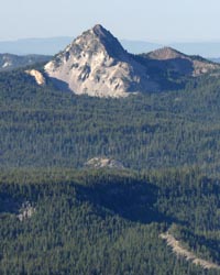
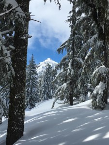
Union Peak, from Watchman Peak, Photo by Robert Mutch |
This is a spur trail off the main Pacific Crest Trail in the southwest corner of the park. See the Pacific Crest Trail (PCT) page for a description of PCT portion of the trail.
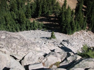
After departing the PCT trail, this trail very gradually moves through a lodgepole pine forest until becoming much steeper and moving through an open and rocky switchback trail to the summit of Union Peak, it’s last half mile. There are spectacular views from the summit, although, Crater Lake can not be seen.
Trailhead Location: The Union Peak trailhead (where the Union Peak trail intersects with the PCT) coordinates are given above, however, the Pacific Crest Trail portion, from the north, begins where the PCT intersects with Highway 62 at the Pacific Crest Trailhead, 1 mile (1.6 km) west of the Crater Lake road junction. The Pumice Flat trailhead access is on Hwy 62 just south of the turnout south of Pole Bridge Creek.
Nature Note: Union Peak is the core of an old volcano eroded by glaciers during the last Ice Age. It is the most conspicuous feature in the southwestern portion of the park, its summit being 7698 feet above sea level and over 1000 feet above the general level of the adjacent area. The upper 800 feet of the peak stands as a rock spire above a ridge-like base which is the drainage divide between Union Creek to the north and Red Blanket Creek to the south, both streams being tributaries of the Rogue River.
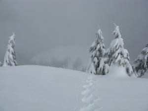
Seasonal Information: Expect the lower portions of the trail to be covered in snow from October to early July, however, conditions vary somewhat from year to year. See Crater Lake Current Conditions for more information. The top portion of the trail may be covered with snow until late July.
Historic Note: In 1853, the Nye party drew a crude map of the area as they moved around the rim and they called the lake simply Blue Lake. Enroute to Jacksonville, Chauncey Nye and three others noticed a very rugged peak which they climbed and named Union Peak. A majority of the group favored the Union cause in the Civil War and they hoped the name of this volcanic plug would never change. Following the usual slow route of travel to Jacksonville, Oregon, the Nye party reported their discovery and on November 8, 1862, in the Oregon Sentinel, the first printed article about the Lake appeared. (Crater Lake Discovery Centennial, Nature Notes From Crater Lake, Vol. 19, 1953)
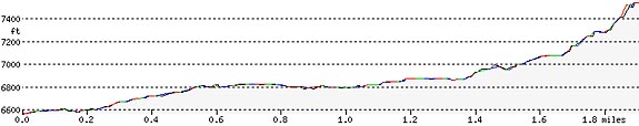
Union Peak Trail Elevation Profile
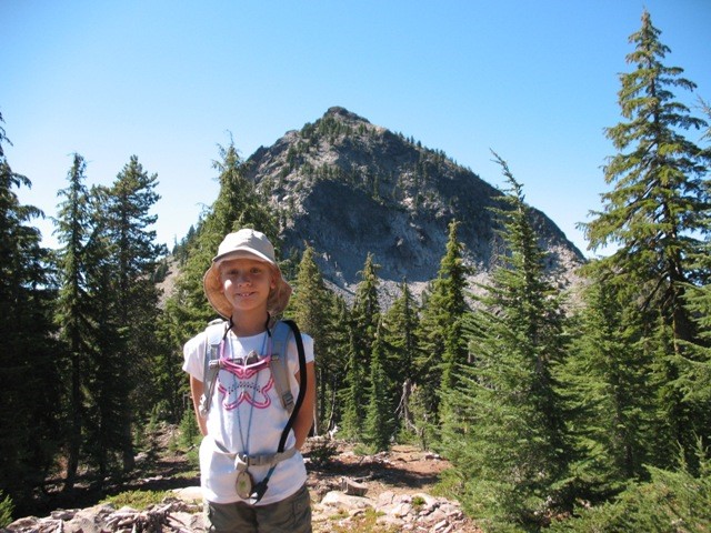
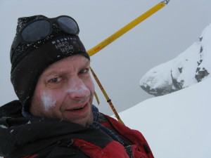
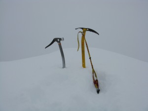
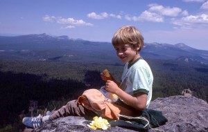
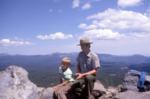
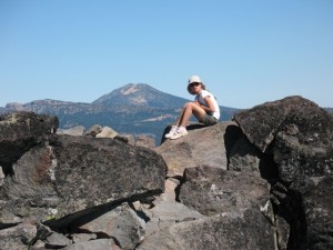
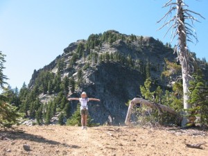
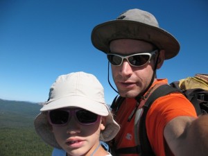
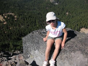
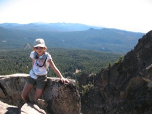
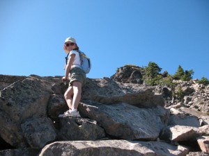
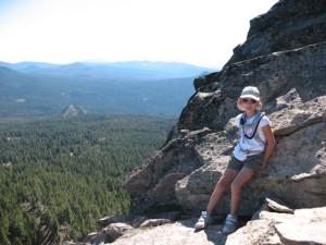
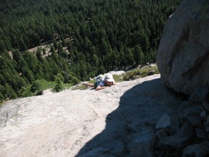
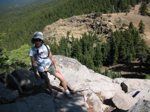
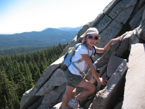
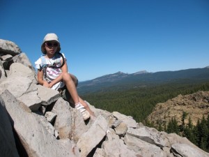
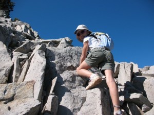
Three Generations of the Smith Family and Union Peak
Photos by Larry Smith and Brian Smith with Chloe taken over three decades.

Related Maps
Digital USGS topographic maps (PDF files) – the following maps are relevant to the Union Peak trail. See more Crater Lake Institute online USGS digital maps.
| Series | Name | Year | Scale | Contour Interval | File |
| USGS 7.5′ | Union Peak | 1985 | 1:24,000 | 40 ft | usgs-union-peak-7.5 |
| USGS 30′ x 60′ | Crater Lake | 1989 | 1:100,000 | 50 m | usgs-crater-lake-30-minute |
| USGS 30′ x 60′ | Diamond Lake | 1978 | 1:100,000 | 50 m | usgs-diamond-lake-30-minute |
| USGS 1° x 2° | Klamath Falls | 1970 | 1:250,000 | 200 ft | usgs-klamath-falls-1-2 |
| USGS 1° x 2° | Medford | 1976 | 1:250,000 | 200 ft | usgs-medford-1-2 |
| USGS 1° x 2° | Roseburg | 1970 | 1:250,000 | 200 ft | usgs-roseburg-1-2 |
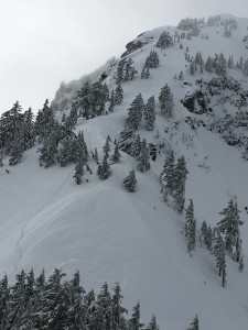
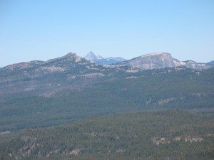
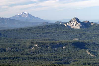 Union Peak (right foreground) and Mount McLoughlin (left), facing south, from the Watchman Peak fire lookout, photo by Robert Mutch Union Peak (right foreground) and Mount McLoughlin (left), facing south, from the Watchman Peak fire lookout, photo by Robert Mutch |
![]()
Please remember to practice “leave no trace outdoor ethics” when you are out on Crater Lake National Park’s trails…and have fun!
Other pages in this section
- Pacific Crest Trail
- Anderson Bluffs Trail
- Anne Creek Canyon Trail
- Anne Springs Cutoff Trail
- Bald Crater Loop Trail
- Bert Creek Trail
- Boundary Springs Trail
- Castle Crest Wildflower Trail
- Cleatwood Cove Trail
- Crater Peak Trail
- Discovery Point Trail
- Dutton Creek Trail
- Fumarole Bay Trail
- Garfield Peak Trail
- Godfrey Glenn Trail
- Lightning Spring Trail
- Llaos Hallway
- Mount Scott Trail
- Park Headquarters Historic Trail
- Pinnacles Valley Trail
- Plaikni Falls Trail
- Pumice Flat Trail
- Stuart Falls Trail
- Sun Notch Trail
- Watchman Peak Trail
- Wizard Island Summit Trail
- Hiking Rules and Regulations
- Best Trails at Crater Lake