
Plaikni Falls Trail – Crater Lake National Park
Difficulty: Easy and Wheelchair passable except last section
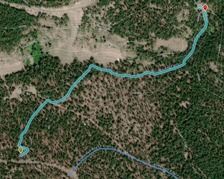
Length: 1 mi (1.6 km) out and back
Elevation gain: 125 ft
REI Trails Project partners with Crater Lake Institute to produce their trails app. Click the map below, get the app – then come back, we offer more.
Trailhead coordinates:
Latitude: N +42° 54.07 or 42.9013
Longitude: W -122° 3.45 or -122.0575
Altitude: 6404 ft (1952 m)
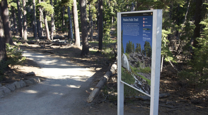
Trail DescriptionA relatively new trail that has quickly become one of the most popular at Crater Lake National Park. It’s called the Plaikni Falls Trail, and it leads to a lush waterfall that, until recently, few people knew existed. The trail is an easy walk and can be completed in an hour—but you might want to linger longer to enjoy the wildflowers that flourish near the spray. The trail starts from a small parking lot along the Pinnacles Road, a spur road off the East Rim Drive. In 2012, the trail will be open as snow conditions allow, probably from early July through late October. See pages 4-5 for trail details and a map. “Plaikni” is a Klamath Indian word meaning “from the high country.” The falls, which tumble over a glacier-carved cliff, originate at a spring nearly 7,000 feet (2,134 meters) above sea level. As you enjoy the falls, please stay on the trail to protect the fragile streamside vegetation.Related Maps Digital USGS topographic maps (PDF files) – the following maps are relevant to the Anderson Bluffs trail. See more Crater Lake Institute online USGS digital maps.
|
|||||||||||||||||||||||||||||||||||||||||||||||||
Other pages in this section
|